
8/17 Kushtaka Camp to Tombolo Camp
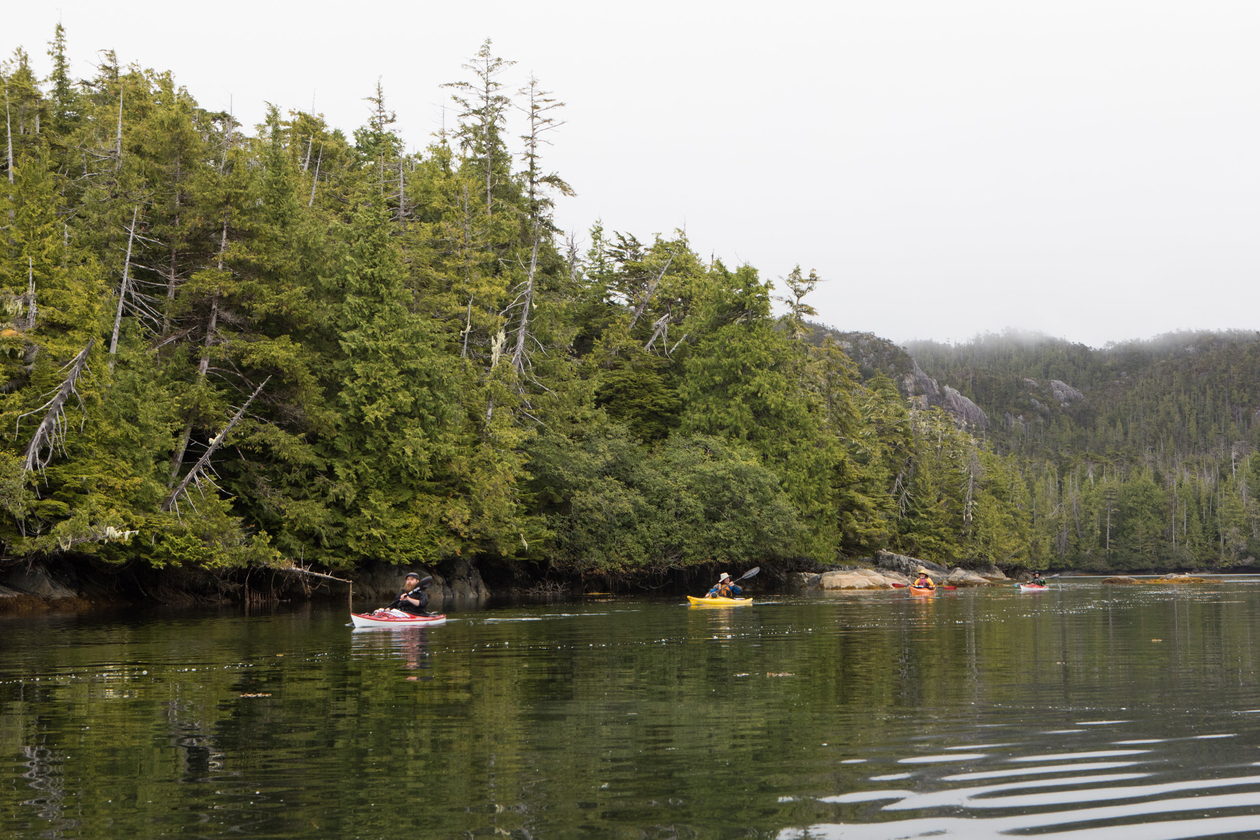
Rain is inevitable in SE Alaska. We woke to a familiar grey mist outside our tents and bundled up in water resistant layers to keep dry while the temperate rain forest around us was replenished. Calm waters often accompany foggy and misty days. We launched our kayaks in glassy conditions and paddled in silence in the sheltered waters of Tah Bay. Our group held back a little and I was able to lead, enjoying the serene landscape ahead. Small channels separate rocky shored islands - you could nearly miss a passage until you were right on top of it. This is my favorite type of paddling. I love exploring small islands.

White Banana Slug

Andis in mist.

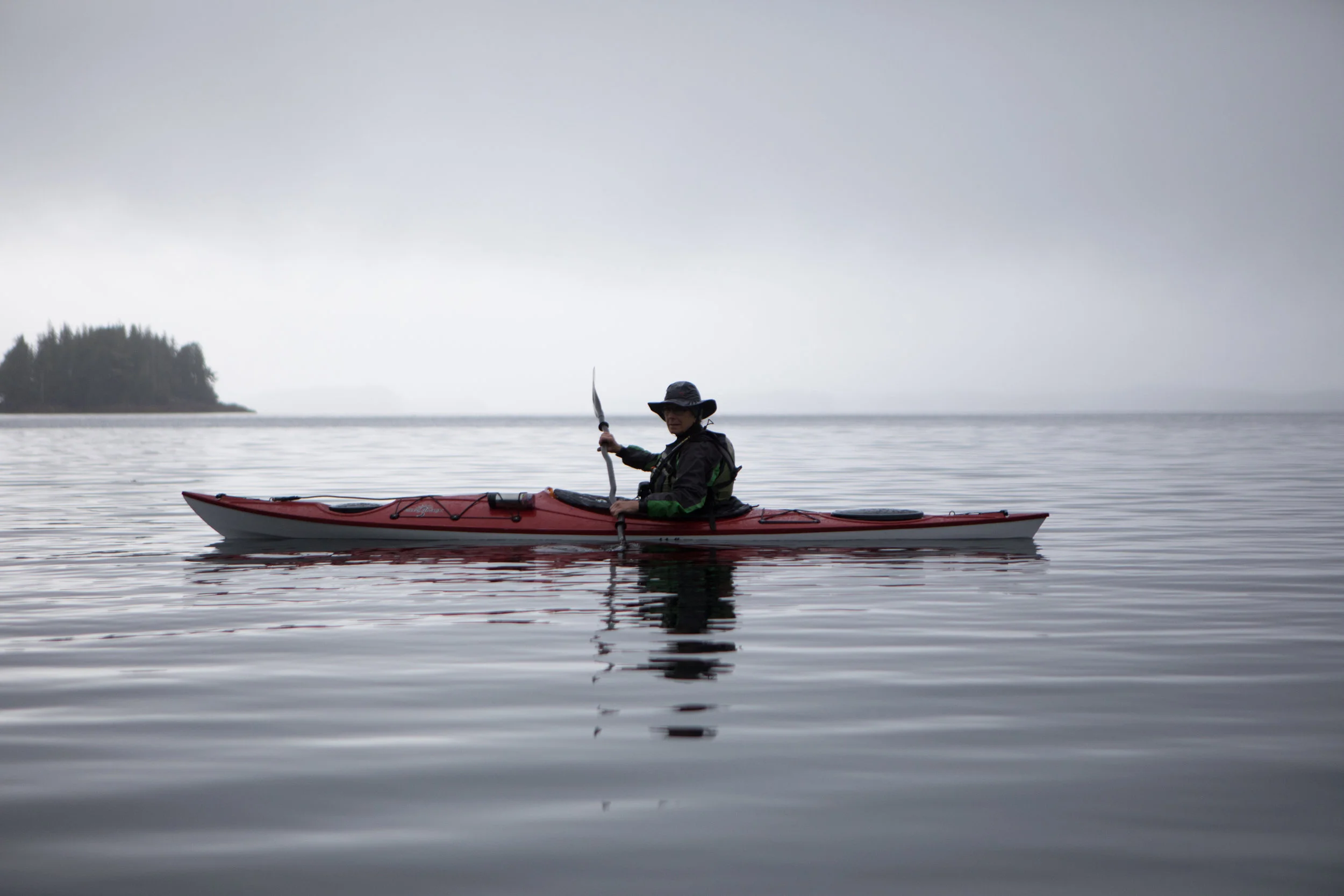
Wayne enjoying a moment of peace.
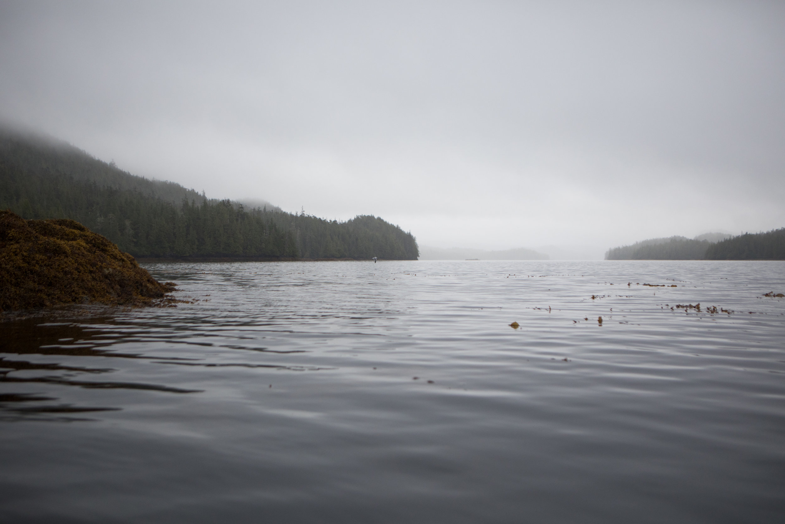
Tah Bay.
Kim in mist.
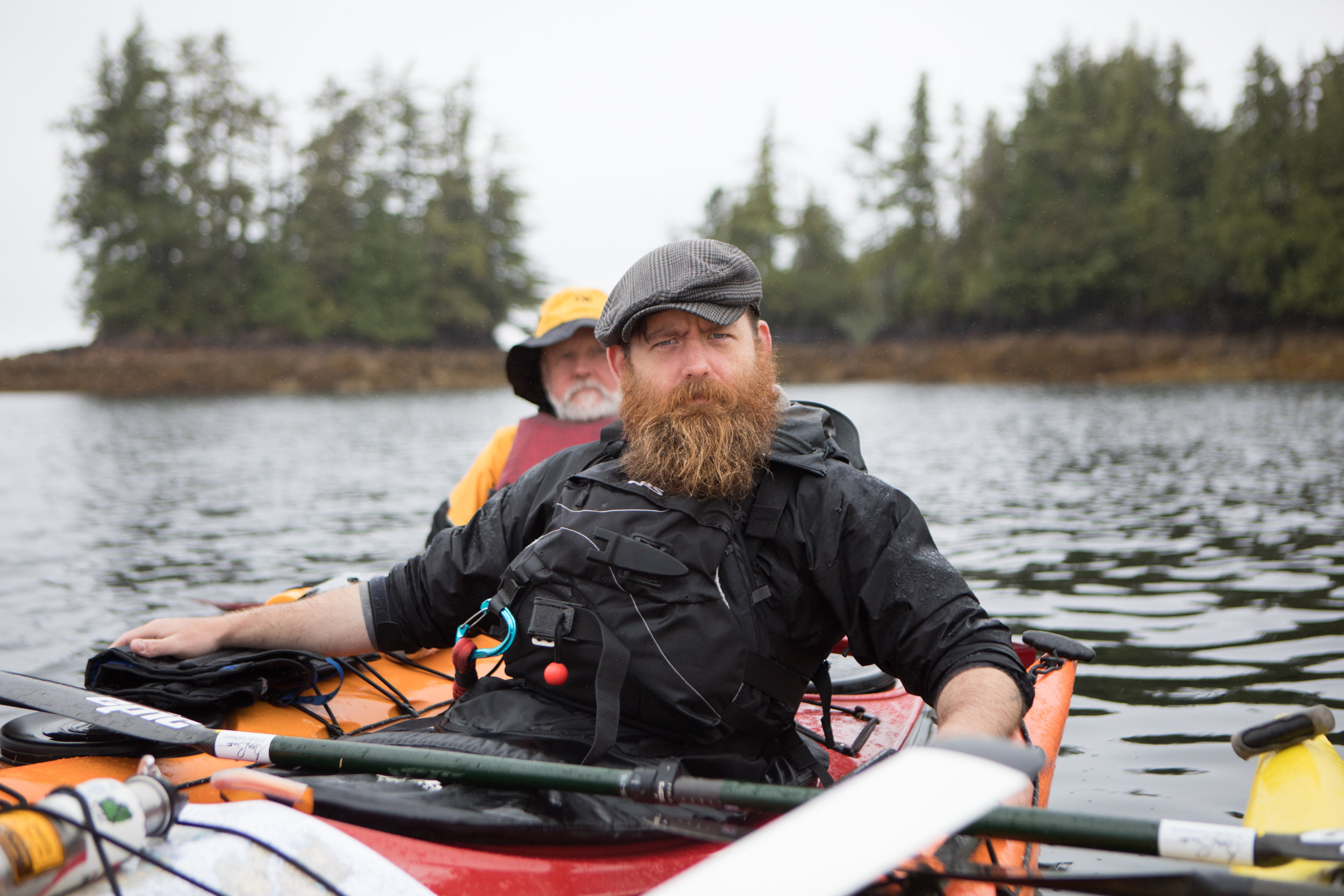
Andis, serious.

Nate & Kim.

Aaron and Wayne telling tales.

Paddling into “The Narrows.”

Rounding Leading Point.

Lunch spot on a small island in the back of Eureka Channel.

Wayne appreciates a Decorator Crab which he found a stock of Bull Kelp before returning it to the water.
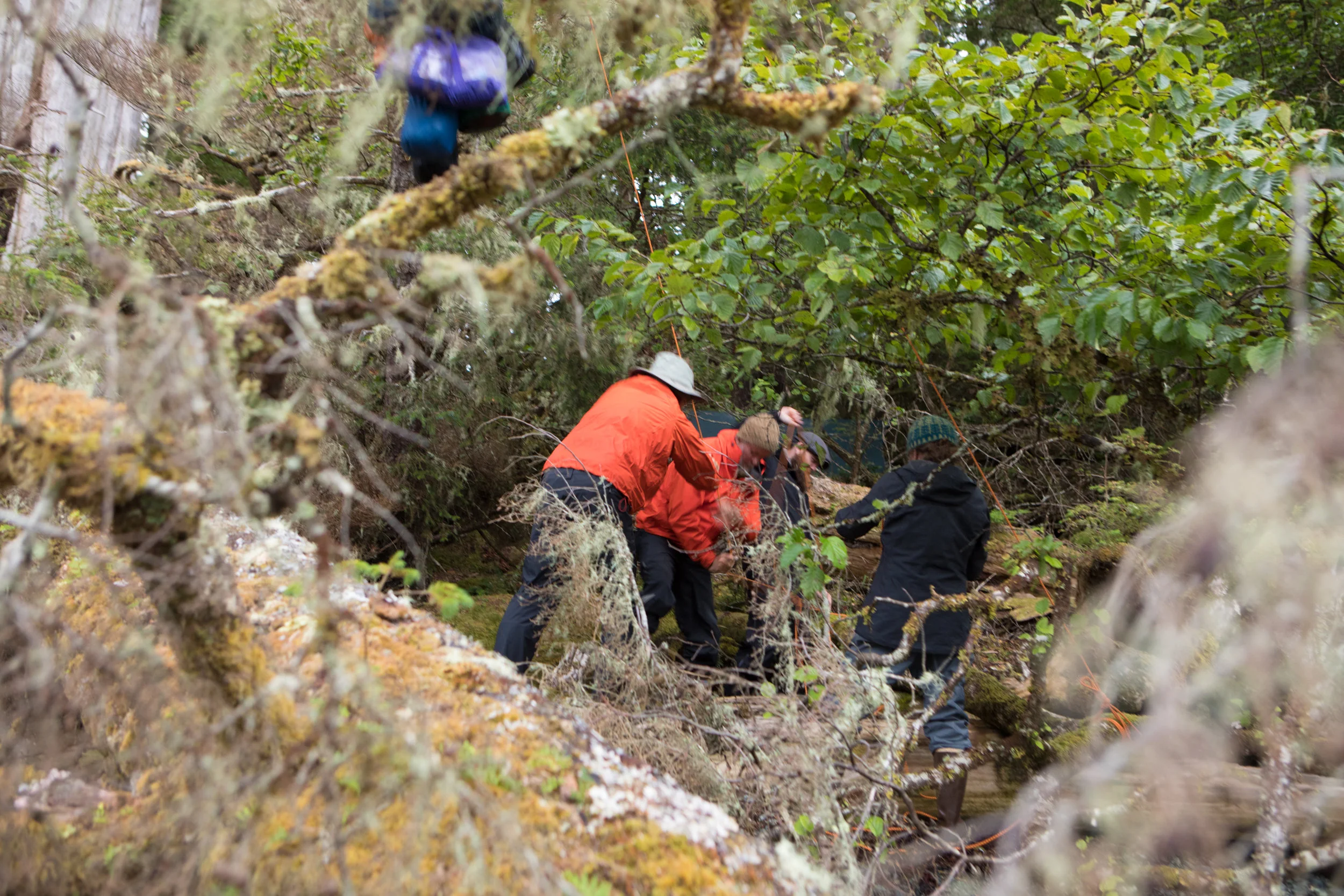
After our lunch break, we began to keep an eye out for suitable campsites. Andis charged me with finding the perfect site. Campsite criteria is subjective and can lead to great debates, but several factors we all agreed upon included: good beach (can you land/launch at high/low tide?), flat(ish) areas for camping, bear hang tree, sunset view, shade, low bear sign, sitting log, access to water (optional if water in paddling distance of known water), opportunity for exploration, glass ball potential. We still had plenty of daylight left so we continued south around Hessa Island calling out our favorite beaches and weighing the strengths.

Andis investigates a break in the trees. Busch mann Pass.

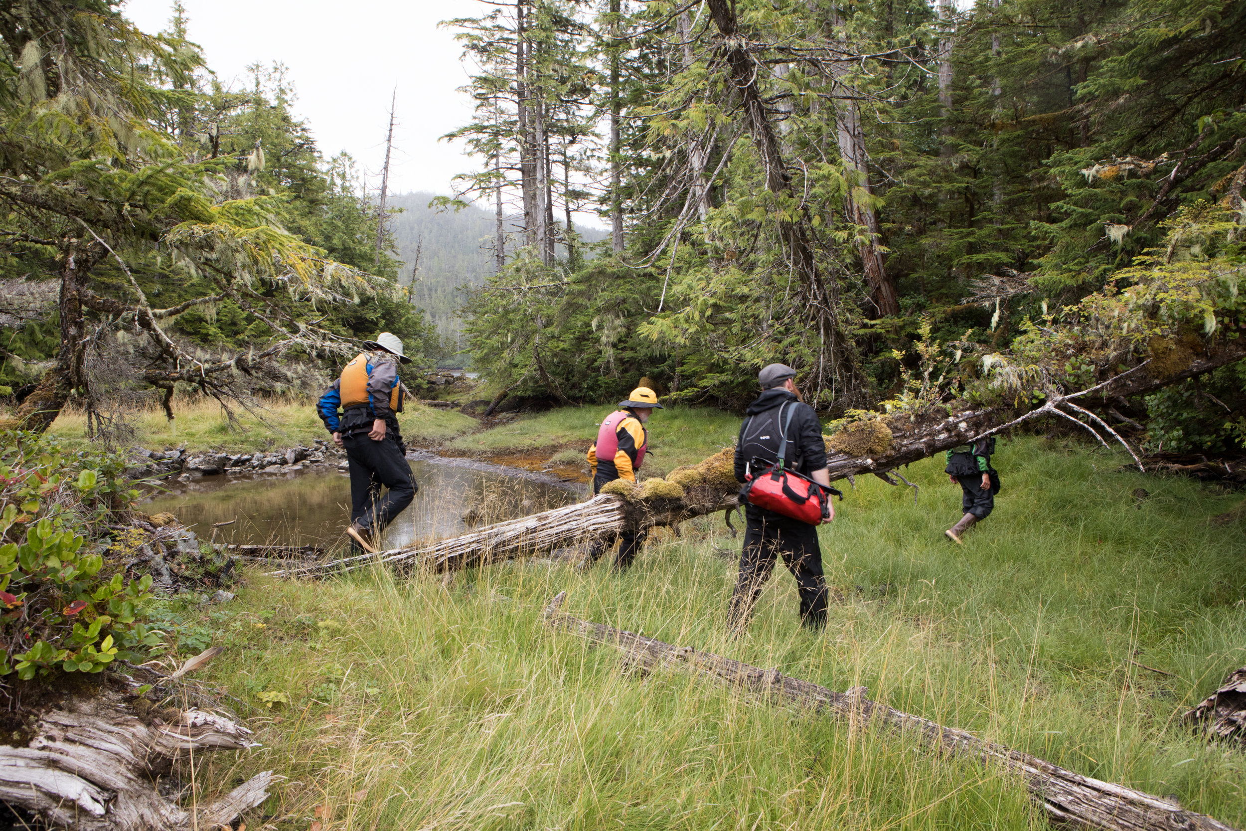
Nate in the bog.
A small series of salty ponds were found beyond the break in the trees. Low landscape allowed salt water to flow into the ponds.

Huckleberry break.
Hessa brought cliffs, rocky coastline, old tress, bogs with huckleberries, and fast currents. We paddled in a figure eight pattern around several small islands before continuing on to find our rest spot. Nate spotted the ideal beach on Douglass Island - a tombolo - where two islands connect by a beach. The tombolo was large enough we were able to set up a kitchen tarp so that we could see views from two separate beaches. After moving camp for several days, we decided to make this our base camp for the next three nights.
We warmed up after a drizzly day, ate good food, played cards, painted, and recounted the highlights of the day - a distant whale, harbor porpoise, and grand trees.

Thompson Passage.

Thompsan Passage.

Our southern campsite on Douglass Island. Aaron reviews a chart of the route we paddled south.

Douglass Island, Thompson Passage.