
8/16 Wolf Camp to Kushtaka Camp
A little exploring always pays off. Early in the morning Wayne called us all back to woods to show us a series of wolf dens he found connected by tunnels under the roots of several large trees. We took turns lowering to our bellies and shuffling our heads and shoulders into the holes to investigate. A thick smell of hair and duff remained in the what we could tell looked like a winter or spring dwelling. We were thrilled to stumble on such a special place and left the den telling stories of wolves and wild places.

The vew from atop the wolf den matrix. Klakas Inlet.

Andis photographs the interior of one of the den tunnels.
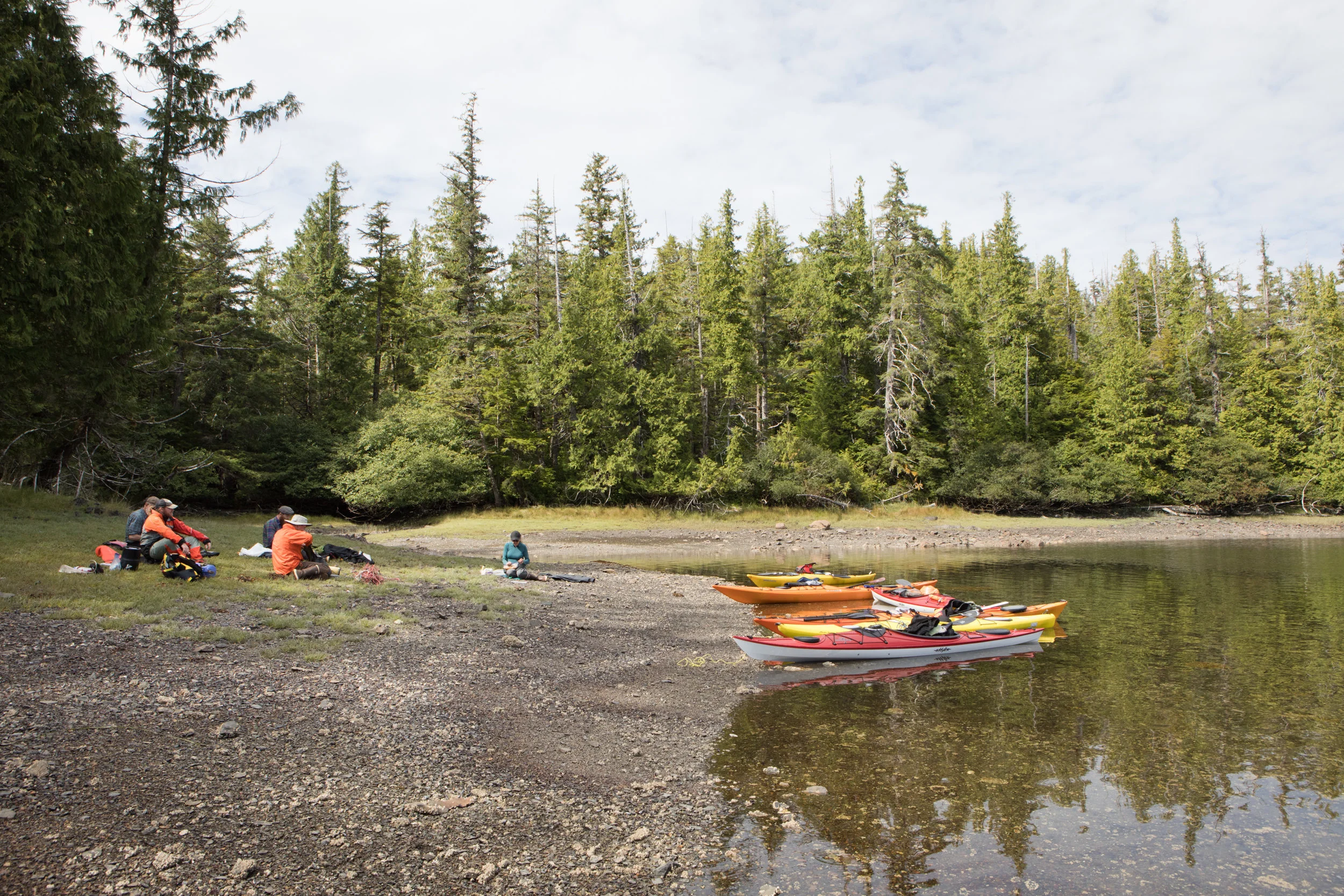
Our destination was completely up to us. We had a return date and location, and a lot of time in between to decide where to go and what to see. A good weather window greeted us so we chose to paddle south.
We broke camp and loaded the boats for the first time. Our boats were a mixture of sizes and styles which took a little extra time to fit our camping equipment and food in the hatches. The trip would be long so we hoisted the second week of food in a cache for Andis and crew to retrieve at a later time.

Leaving Klakas Inlet.

Andis, Nate, and Kim.
Klakas Inlet feels remote. The channel provides a sense of security with hills and dense forest on either side. A breeze slowly made the paddling a little more tedious as we exited Klakas and entered into a fresh landscape. Our charts showed a nearly hidden cove with several easily accesible sources of water. We decided to paddle into Klinkwan Cove to filter water and stop for lunch.
A narrow opening focused the current and carried us into Klinkwan where we relaxed in the quiet, sheltered waters. A view of distant mountains, showed between small islands as we paddled to the back of the cove. The banks of the river mouth were lively with wildlife and we watched from a distance as a black bear traversed the shore back to the shelter of the forest.

Kim paddling around a point to explore Klinkwan Cove.

Klinkwan Cove.
Lunch during a slow flood tide. It would only be moments before our boat began bobbing freely in the water. We pulled the boats back to shore and settled in to watch the tide come in again.

Lunch. Aaron, Wayne, Nate, Andis, Kim.

The rising tide filled in a dry spit of land that had disconnected our lunch beach from the other side of the cove. We took advantage of the flood tide to paddle over the newly open section of water. Andis, Wayne, Aaron.

Kim

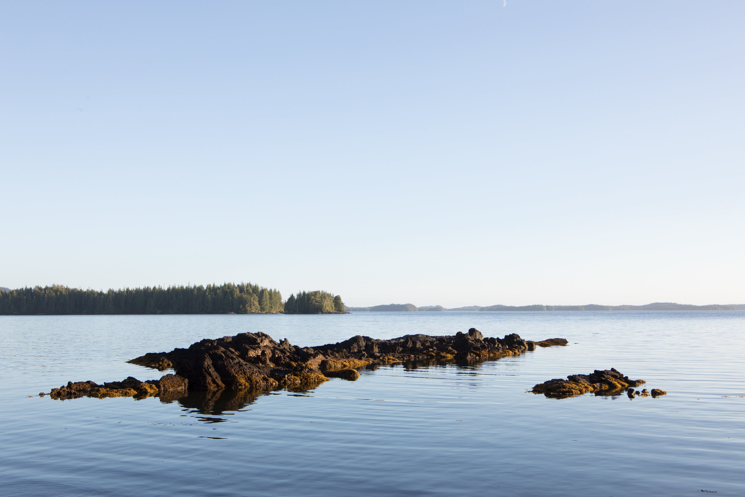
Biscuit Knob in Klinkwan Cove.

Paddling out of Klinkwan Cove. Altocumulus clouds.
After our lunch, we paddled out of Klinkwan. The small cove was strikingly beautiful and we left happy with our short excursion. We continued south for a short while before finding a great beach to land on for the evening. The sun was still high so dried out some of our gear, cooked dinner, and ended the evening with a round of the card game, Uker. Kim and I won in a noteworthy comeback fashion.
View from Tah Bay camp out towards Cordoba Bay.

Sunset relaxation.

Watercolor Sketch - Kelp
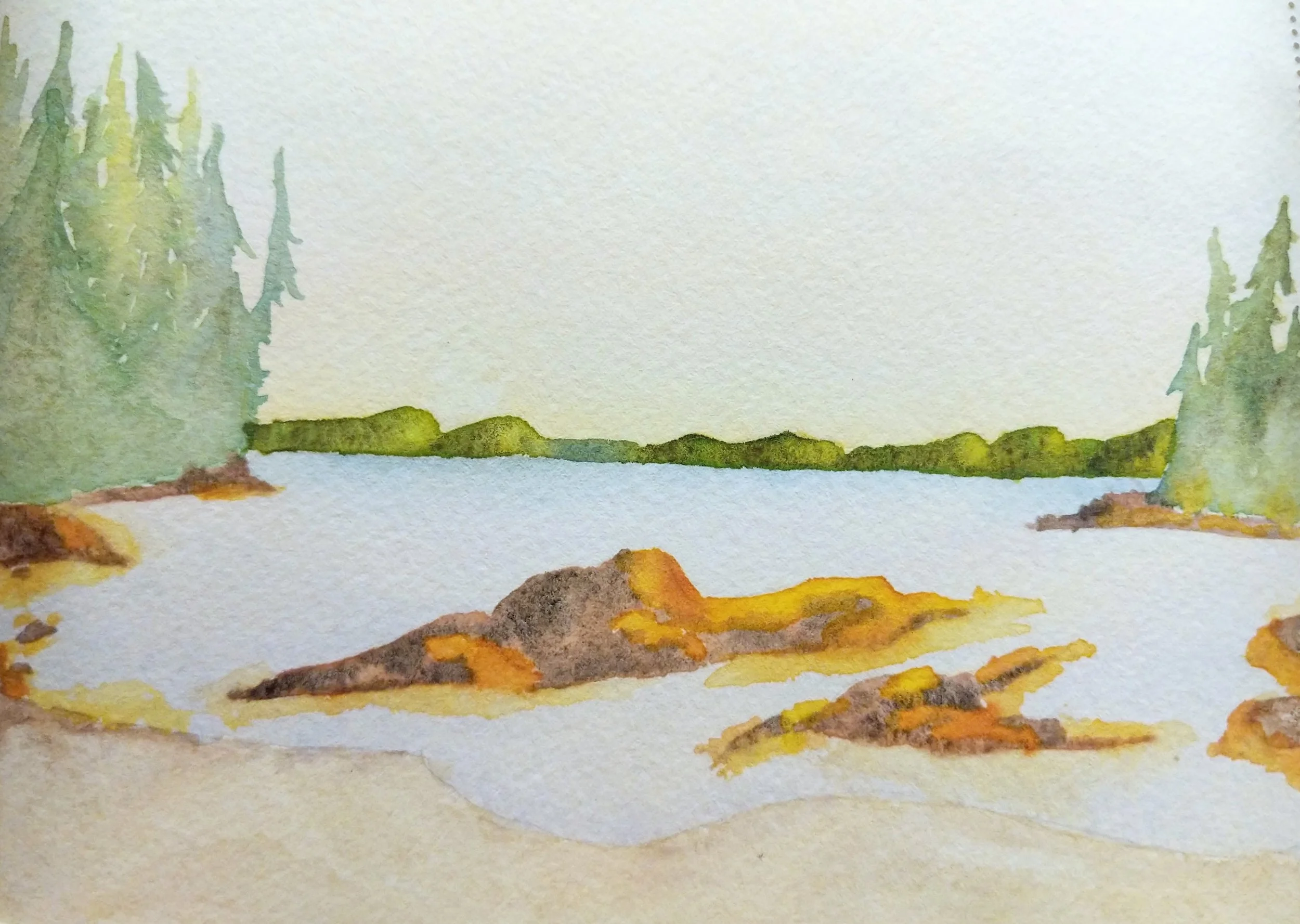
Watercolor Sketch Tah Bay
To see a detailed mapping of our route check out the CalTopo chart below. The chart works best on a desktop if you are having trouble viewing the embedded file on a mobile platform.